OUR SERVICES / SURFACE WATER & HYDROLOGY
Surface Water & Hydrology
Hydrological investigations, surface water monitoring, and water balance studies to support environmental baseline assessments, mine development, and regulatory permitting.
WHAT WE DO
Understanding Site Drainage & Water Movement
Understanding how water moves across a site and interacts with the surrounding environment is fundamental to effective environmental planning. Surface water investigations provide the information needed to characterize drainage pathways, establish baseline hydrological conditions, assess seasonal variability, and identify potential effects associated with project development.
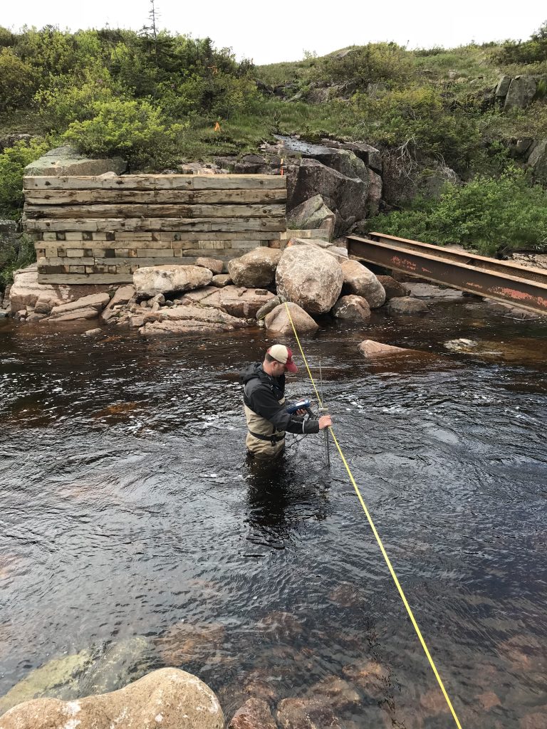
EAG designs and implements surface water and hydrology programs for mineral exploration, mine development, and operating facilities. Our services include watershed and drainage characterization, hydrometric monitoring, streamflow measurements, surface water quality investigations, and water balance assessments. These investigations provide essential information to support environmental baseline studies, regulatory applications, project water management, and long-term monitoring programs.
Our team combines field reconnaissance, geodetic surveying, hydrometric instrumentation, topographic data analysis, and environmental sampling to develop a practical understanding of site-specific hydrological conditions. By integrating field measurements with available terrain, climate, and historical monitoring data, we help clients establish reliable datasets and identify the hydrological considerations that may influence future project development.
With experience working in remote and challenging environments, EAG understands the importance of selecting appropriate monitoring locations, accounting for seasonal conditions, and designing programs that balance technical requirements with field accessibility, available resources, and project schedules.
HYDROLOGICAL CONTEXT
From Catchment to Receiving Environment
A site’s hydrological setting extends beyond its property boundaries. Understanding upstream drainage, on-site flow pathways, and downstream receiving environments is essential to developing appropriate monitoring programs and assessing potential project effects.
1
Upstream Catchments
Identify contributing drainage areas and potential upstream influences.
2
On-Site Flow Pathways
Verify watercourses, drainage connections, and appropriate monitoring locations.
3
Downstream Receivers
Characterize the connected streams, wetlands, and waterbodies receiving site drainage.
OUR CAPABILITIES
Surface Water Investigation & Monitoring Services
EAG provides field-based hydrological investigations, monitoring network design, and technical assessments to characterize surface water systems and establish reliable environmental baseline data. Our services support project planning, environmental assessments, permitting applications, and ongoing operational monitoring.
Watershed & Drainage Characterization
Catchment delineation, surface drainage mapping, watercourse identification, and field verification of drainage pathways using terrain data and geodetic surveys.
Streamflow & Water Level Monitoring
Hydrometric investigations including velocity and discharge measurements, water level monitoring, stage–discharge relationships, and seasonal flow assessments.
Monitoring Network Design & Instrumentation
Selection and establishment of hydrometric monitoring stations, installation of water level loggers, geodetic surveying, and monitoring program development.
Surface Water Quality Monitoring
Design and implementation of surface water sampling programs, field measurements, laboratory coordination, data review, and quality assurance and quality control.
Water Balance & Climate Assessments
Hydrological data analysis and water balance assessments incorporating precipitation, runoff, evapotranspiration, infiltration, storage, and site drainage conditions.
Hydrological Reporting & Permitting Support
Hydrological baseline reporting, interpretation of monitoring data, technical assessments, and support for environmental permitting and regulatory applications.
OUR APPROACH
Field-Verified Data. Practical Hydrological Understanding.
Reliable hydrological assessments begin with a clear understanding of site conditions. EAG combines available terrain and historical data with field reconnaissance to verify drainage pathways, establish suitable monitoring locations, and identify the measurements required to characterize site-specific hydrological conditions.
Our monitoring programs are developed with consideration for seasonal variability, site accessibility, equipment limitations, and regulatory requirements. Through consistent field methods, geodetic verification where appropriate, and careful data review, we work to establish technically defensible datasets that support environmental study design, water management, and regulatory decision-making.
1
Access
Review terrain, watershed boundaries, historical records, and available environmental data.
2
Verify
Conduct field reconnaissance and identify representative monitoring stations and drainage features.
3
Monitor
Collect water levels, streamflow, water quality, and seasonal hydrological measurements..
4
Interpret
Review field data, characterize hydrological conditions, and prepare supporting technical assessments.
LET'S WORK TOGETHER
Let's Plan Your Surface Water Program
Whether you’re establishing baseline hydrological conditions, developing a surface water monitoring network, or preparing technical studies to support mine development and permitting, EAG can help design and implement a program tailored to your project’s requirements.